第二届遥感技术与测量测绘国际学术会议(RSTSM 2025)圆满落幕
2025 2nd International Conference on Remote Sensing Technology and Survey Mapping came to a successful end.
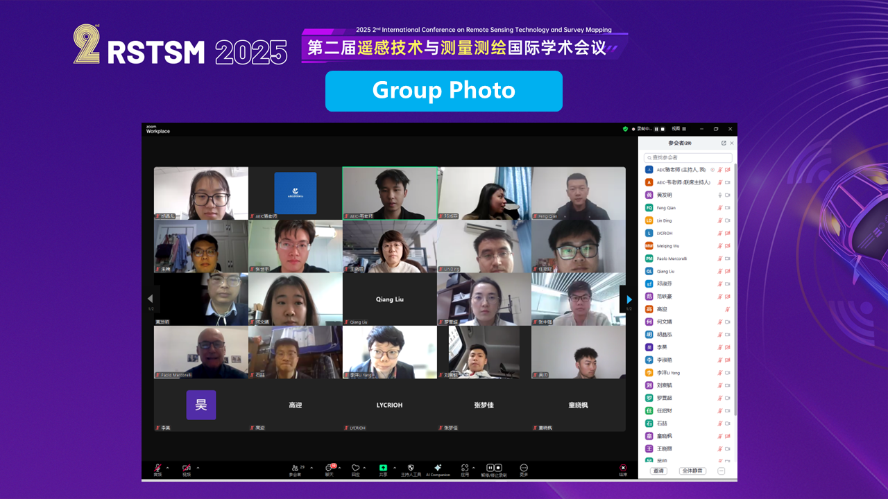
2025年2月28日,第二届遥感技术与测量测绘国际学术会议(RSTSM 2025)线上会议成功举办。本次会议汇聚了来自国内外的遥感领域的科学专家、研究人员和学者,旨在探讨当前遥感技术与测量测绘领域的最新研究成果和实践经验。
On February 28, 2025, 2025 2nd International Conference on Remote Sensing Technology and Survey Mapping was successfully held. The conference brought together scientific experts, researchers and scholars in the field of remote sensing from home and abroad, aiming to discuss the latest research results and practical experiences in the current field of remote sensing technology and measurement and mapping.

Prof. Xingong Tang, Yangtze University
Speech Title: Two-Dimensional Magnetotelluric Inversion Based on Residual Neural Network
在主讲报告环节,来自长江大学的唐青功教授发表了题为“Two-Dimensional Magnetotelluric Inversion Based on Residual Neural Network”的主讲报告。
In the lecture session, Prof. Qinggong Tang fromYangtze University delivered a lecture entitled “Two-Dimensional Magnetotelluric Inversion Based on Residual Neural Network”.
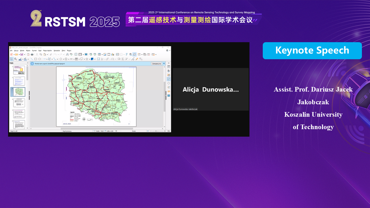
Assist. Prof. Dariusz Jacek Jakobczak, Koszalin University of Technology
Speech Title: Reconstruction Of Multidimensional Data On Intelligent Technology And Artificial Intelligence
波兰科沙林工业大学Dariusz Jacek Jakobczak助理教授也分享了他的研究成果,报告题目为“Reconstruction Of Multidimensional Data On Intelligent Technology And Artificial Intelligence”。
Assistant Prof. Dariusz Jacek Jakobczak, Technical University of Koszalin, Poland, also shared his research results in a presentation titled “Reconstruction Of Multidimensional Data On Intelligent Technology And Artificial Intelligence”. Artificial Intelligence”.
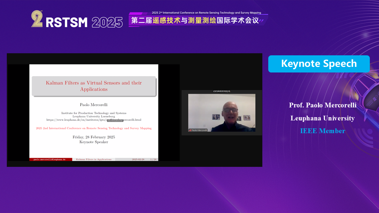
Prof. Paolo Mercorelli, Leuphana University
Speech Title: Kalman Filters as Virtual Sensors and their Applications
此外,来自德国吕讷堡大学的Paolo Mercorelli教授通过线上方式发表了题为“Kalman Filters as Virtual Sensors and their Applications”的主讲报告
In addition, Prof. Paolo Mercorelli from the University of Lüneburg, Germany, gave an online lecture entitled “Kalman Filters as Virtual Sensors and their Applications”.
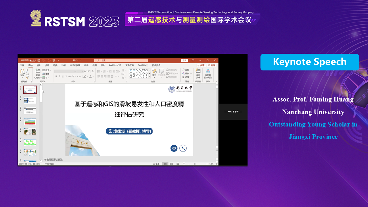
Assoc. Prof. Faming Huang,Nanchang University
Speech Title: A Study on the Fine Assessment of Landslide Susceptibility and Population Density Based on Remote Sensing and GIS
最后,南昌大学的黄发明教授以线上形式分享了题为“A Study on the Fine Assessment of Landslide Susceptibility and Population Density Based on Remote Sensing and GIS”的报告。
Finally, Associate Prof. Huang Invention from Nanchang University shared a presentation entitled “A Study on the Fine Assessment of Landslide Susceptibility and Population Density Based on Remote Sensing and GIS” in online format. GIS”.
此外,会议还进行了口头汇报环节,展示了新一代学者的研究成果。
In addition, the conference conducted an oral presentation session to showcase the research results of a new generation of scholars.

(1) Shiyu Zhang, Nanjing University of Aeronautics and Astronautics
Speech Title: Large scene SAR vehicle detection based on scene prior information
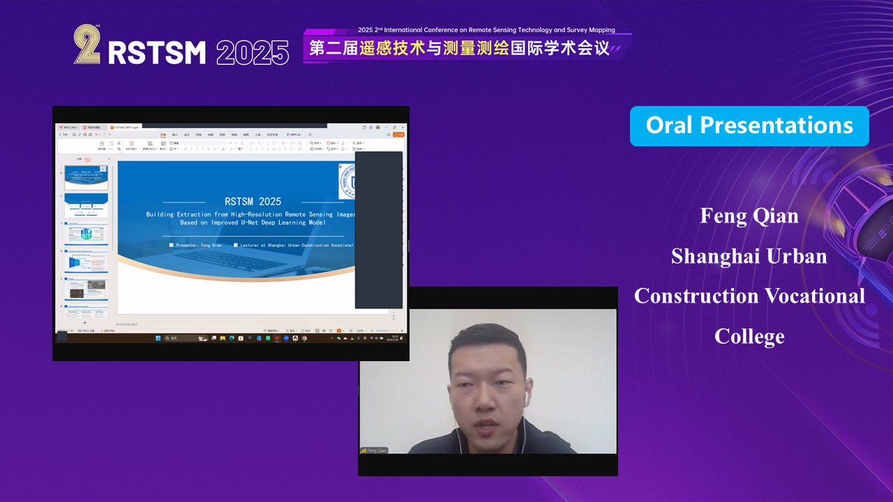
(2) Feng Qian, Shanghai Urban Construction Vocational College
Speech Title: Building Extraction from High-Resolution Remote Sensing Images Based on Improved U-Net Deep Learning Model
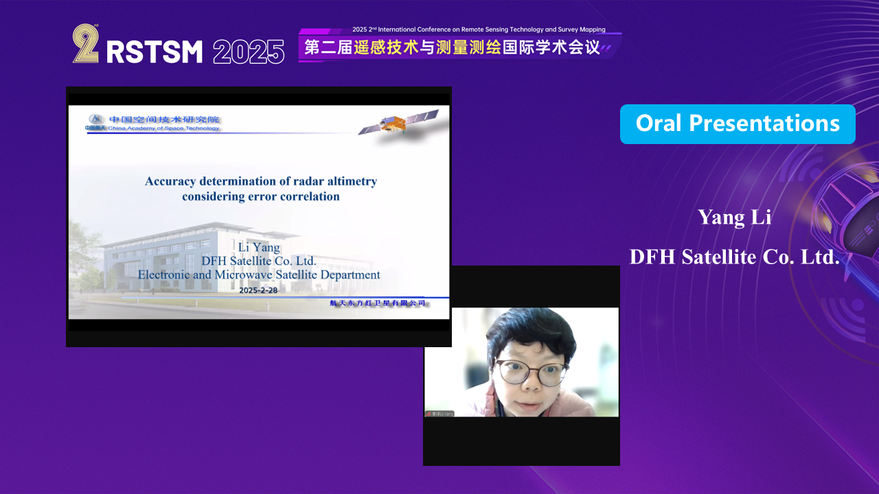
(3) Yang Li, DFH Satellite Co. Ltd.
Speech Title: Accuracy determination of radar altimetry considering error correlation
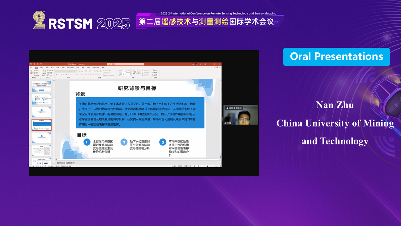
(4) Nan Zhu, China University of Mining and Technology
Speech Title: Study on Overburden Movement Deformation in Abandoned Goaf Areas under Water-Rock Interaction Based on Numerical Simulation
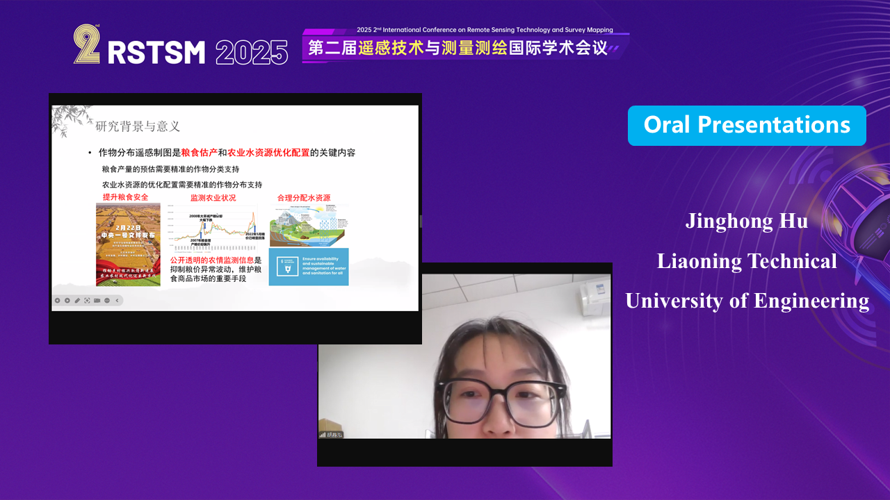
(5) Jinghong Hu, Liaoning Technical University of Engineering
Speech Title: Crop Classification in the Bekaa Valley Based on Feature Importance Selection by Random Forest
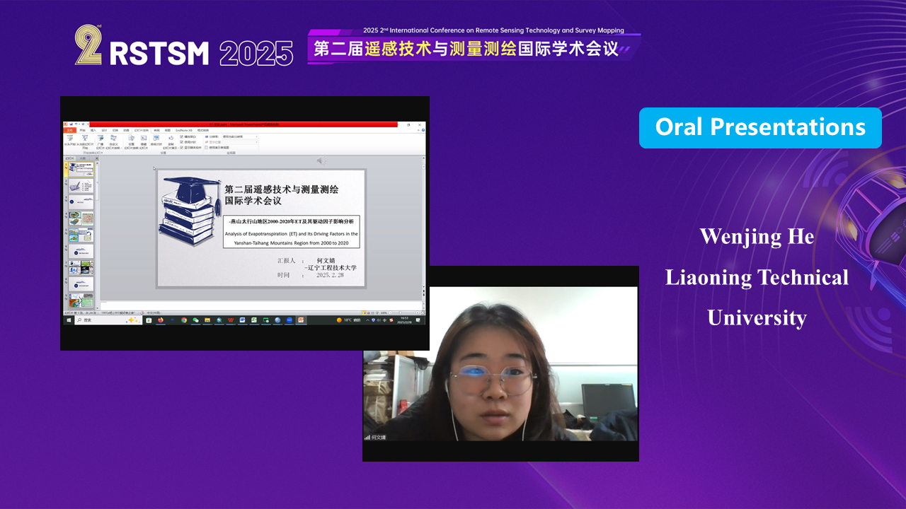
(6) Wenjing He, Liaoning Technical University
Speech Title: Analysis of Evapotranspiration (ET) and Its Driving Factors in the Yanshan-Taihang Mountains Region from 2000 to 2020
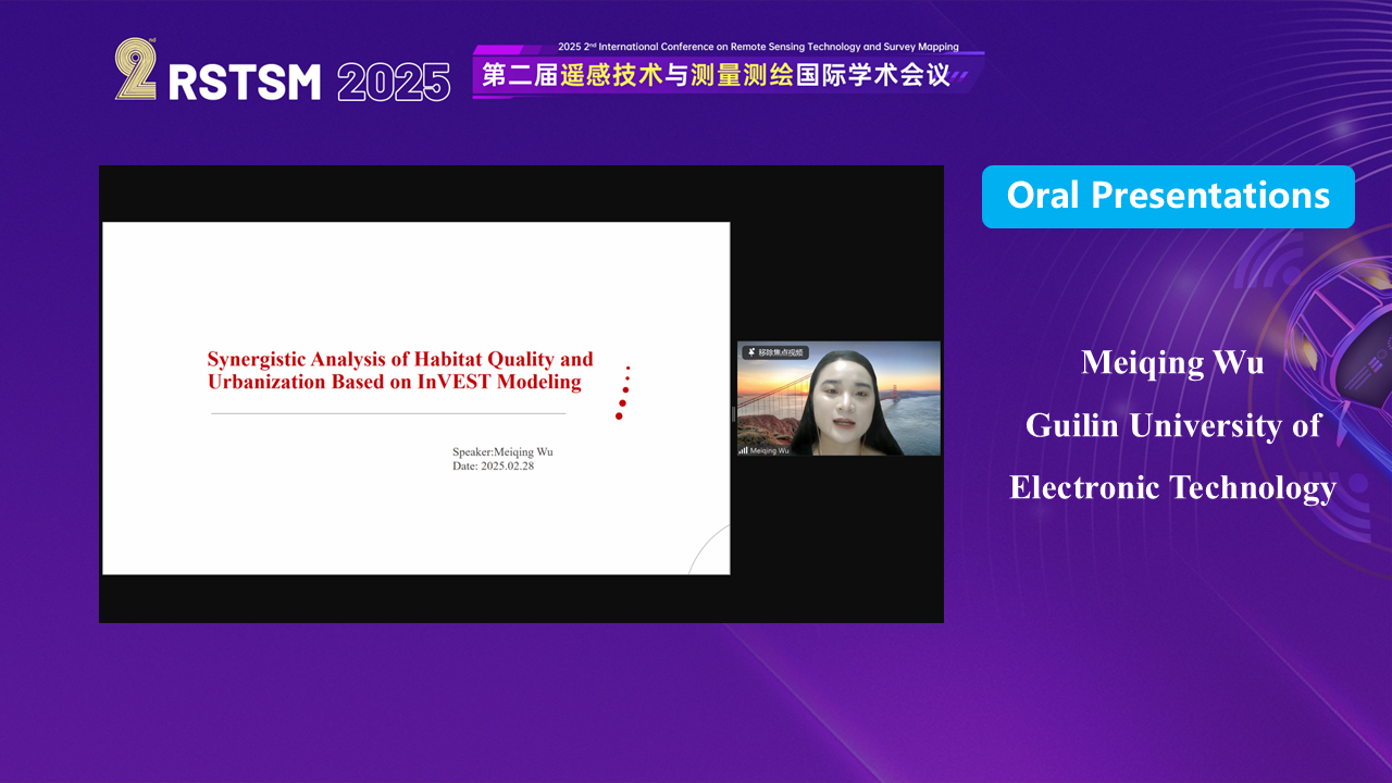
(7) Meiqing Wu, Guilin University of Electronic Technology
Speech Title: Synergistic Analysis of Habitat Quality and Urbanization Based on InVEST Modeling
随着各项议程的顺利完成,第二届遥感技术与测量测绘国际学术会议(RSTSM 2025)圆满落下帷幕。会议不仅为与会者提供了一个高质量的学术交流平台,也为推动相关领域的科研进步和技术创新做出了积极贡献。我们期待下一届会议能够再次汇聚全球智慧,共同开启遥感技术与测量测绘的新篇章。
With the successful completion of the agenda, 2025 2nd International Conference on Remote Sensing Technology and Survey Mapping (RSTSM 2025) came to a successful conclusion. The conference has not only provided a high-quality academic exchange platform for the participants, but also made a positive contribution to the promotion of scientific research progress and technological innovation in related fields. We are looking forward to the next conference, which will gather global wisdom again and open a new chapter of Remote Sensing Technology and Survey Mapping together.